This week we are featuring guest blogger, Will Aycock, General Manager of Greenlight Community Broadband, City of Wilson, NC. Enjoy!
 "Since the federal government is on everyone's mind these days (and assuming the FCC will be open for business by September 1st of next year) I thought this an opportune time to discuss FCC reporting. As you all know, the annual form 477 report requires reporting of Internet service levels by census tract. One small problem with generating this report is that very few service providers store census tract data as an integral part of their billing database.
This results in labor-intensive manual processes to count data subscriptions by census tact. The end product of this process is often an inaccurate estimate of the required reporting data. One potential solution to this issue would be to track census tract information at the subscriber level in the billing database. Although this would ease the process of reporting, it is an unwieldy solution at best. After all, we all know it is hard enough to track accurate service address information!
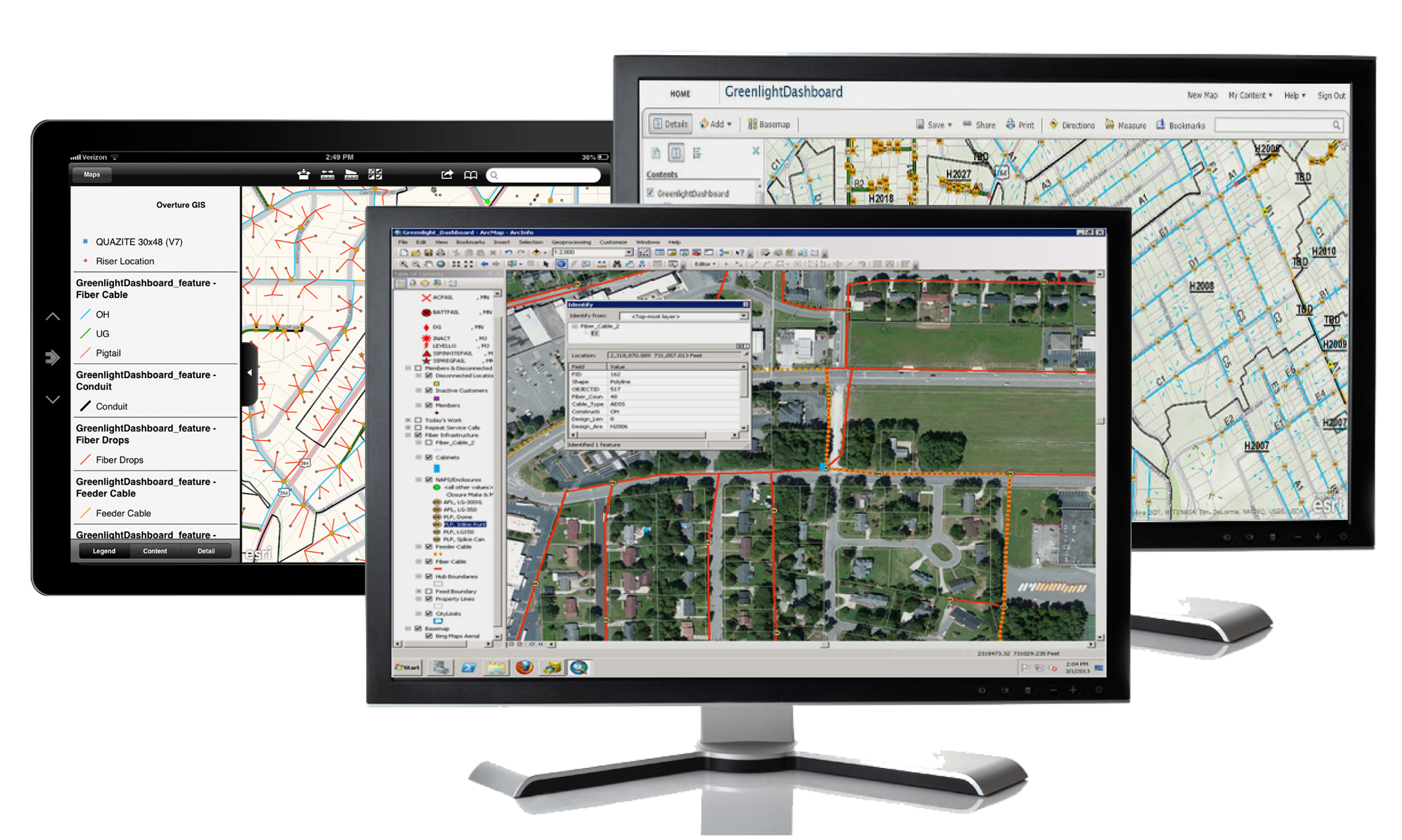
A better solution to this problem is implementing an integrated BSS/OSS GIS platform. But before we delve into solving the Form 477 issues, let's solve a more basic problem. "Integrated BSS/OSS GIS" is nearly as unwieldy as federal reporting requirements. Given the direction of technology integration perhaps it is time to coin a new acronym, "GSS". GSS stands for Geographic Support Systems and encompasses spatially enabled software systems that span the legacy concepts of BSS/OSS platforms. Now that we have that cleared up, let’s get to solving the form 477 reporting conundrum.
GSS systems integrate all customer records from the billing environment into a GIS interface. These spatial views of billing data can include any representation of service levels the end user wishes to define. GSS systems also allow interaction of any other spatial data the end user requires, which includes census tract data available from the US Census Bureau. Implementation of a GSS thereby allows a service provider to create canned reports that fully automate production of the form 477 report.
Next year, if the FCC is back up and running, you can simply run the predefined report from your GSS platform and voila! all the data required to complete form 477 will be at your fingertips."